Friday, 25 June 2010
Supernova for iPad Demo Gallery
Link to a video on Supernova http://glennmarshall.wordpress.com/2010/05/27/supernova-for-ipad-demo-gallery/
Saturday, 19 June 2010
My Maps
Saturday, 5 June 2010
Sky Maps
I collected many Sky Maps and here are two of the final ones I was working on. Each map is made up of 11-12 images been put together. These are the most accurate and complete maps I found at one place and therefore decided to use them for ‘Map Frame’.
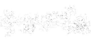
Custer Institute and Observatory, Sky Map, http://www.custerobservatory.org/docs/messier2.pdf, Viewed 15 January 2010.
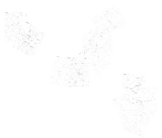
Custer Institute and Observatory, Sky Map, http://www.custerobservatory.org/docs/messier2.pdf, Viewed 15 January 2010.

Custer Institute and Observatory, Sky Map, http://www.custerobservatory.org/docs/messier2.pdf, Viewed 15 January 2010.

Custer Institute and Observatory, Sky Map, http://www.custerobservatory.org/docs/messier2.pdf, Viewed 15 January 2010.
Wednesday, 2 June 2010
Previous Research
These are some of the pictures I used in order to create maps. I used them for another module last semester to help me create 3D sphere- layers of maps.
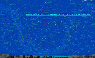
Webtext, Constellation Map, USA, http://orcapress.com/, Viewed 15 January 2010.
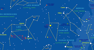
Webtext, Constellation Map, USA, http://orcapress.com/, Viewed 15 January 2010.
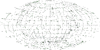
Sky-map-grid-const, Grid Map, http://my.sky-map.org/images/sky-map-grid-const.gif, Viewed 15 January 2010.
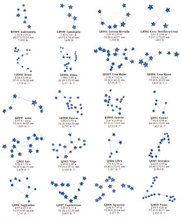
Constellations, 20 Constellations, http://www.cosmosapparel.com/Images/Constellations.jpg, Viewed 15 January 2010.
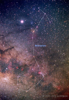
CONST19B, Messier Object, http://www.astropix.com/HTML/WIDE/CONST19.HTM, Viewed 15 January 2010.

Webtext, Constellation Map, USA, http://orcapress.com/, Viewed 15 January 2010.

Webtext, Constellation Map, USA, http://orcapress.com/, Viewed 15 January 2010.

Sky-map-grid-const, Grid Map, http://my.sky-map.org/images/sky-map-grid-const.gif, Viewed 15 January 2010.

Constellations, 20 Constellations, http://www.cosmosapparel.com/Images/Constellations.jpg, Viewed 15 January 2010.

CONST19B, Messier Object, http://www.astropix.com/HTML/WIDE/CONST19.HTM, Viewed 15 January 2010.
Subscribe to:
Comments (Atom)


