I collected many Sky Maps and here are two of the final ones I was working on. Each map is made up of 11-12 images been put together. These are the most accurate and complete maps I found at one place and therefore decided to use them for ‘Map Frame’.
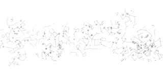
Custer Institute and Observatory, Sky Map,
http://www.custerobservatory.org/docs/messier2.pdf, Viewed 15 January 2010.
Custer Institute and Observatory, Sky Map,
http://www.custerobservatory.org/docs/messier2.pdf, Viewed 15 January 2010.


No comments:
Post a Comment